What's that over my house?

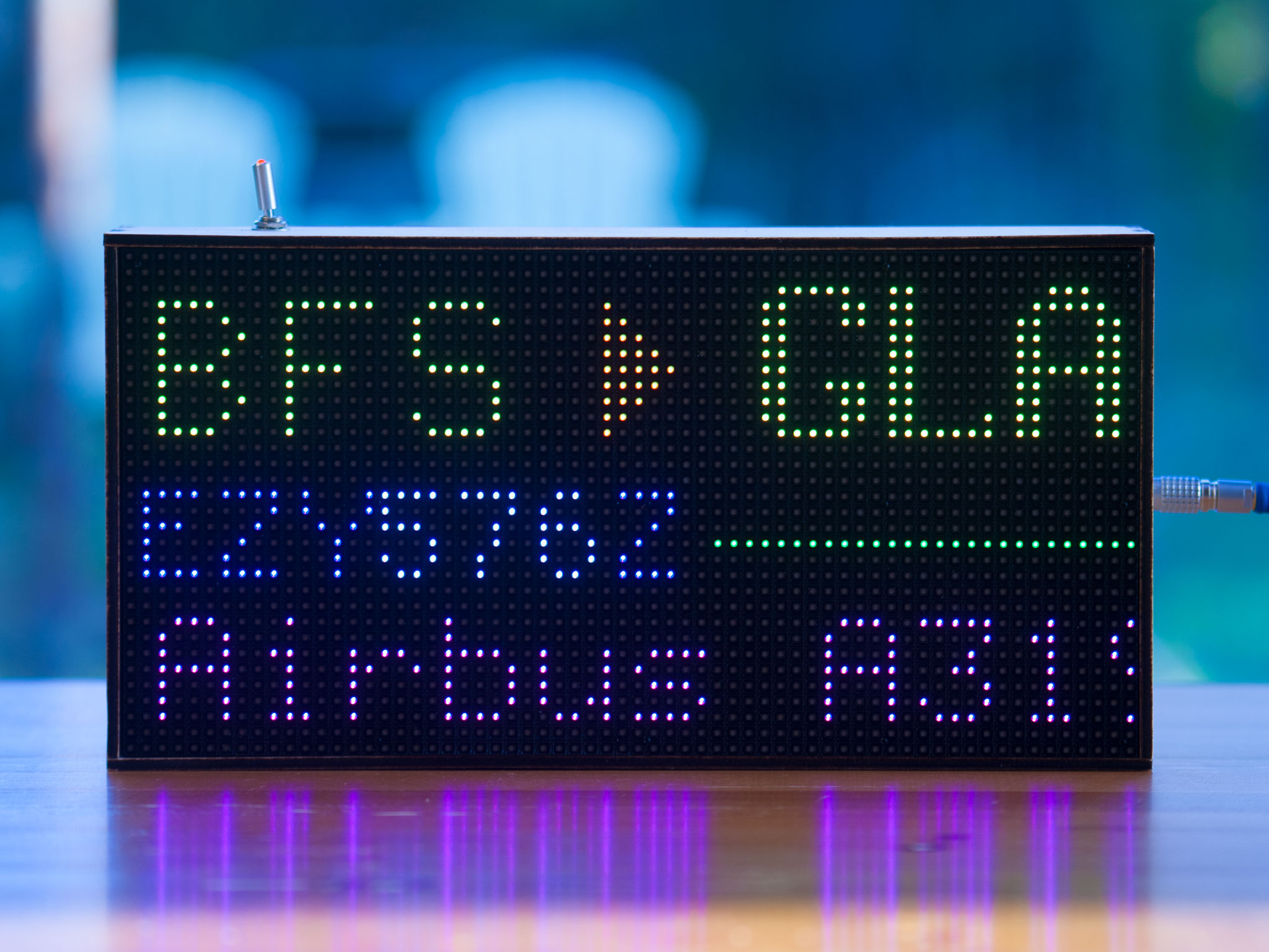
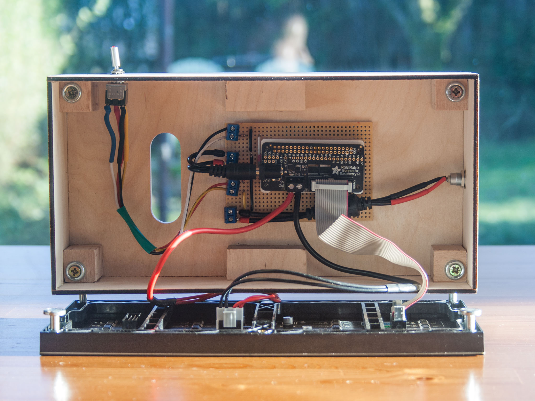
A Raspberry Pi-powered RGB LED matrix that shows you what aircraft and satellites are overhead.
FlightTracker takes live aircraft data, works out what is nearby, and displays it on a 64x32 RGB LED matrix. When there is nothing overhead, it can show the time, weather, temperature, rainfall, or satellite passes.
This site will show you what you need to build your own and get the software installed. An official 3D-printable case is also available — see the build page for details.
What it does
Aircraft callsign
Aircraft type
Satellite passes
Origin and destination airports
Altitude, speed, and heading
Local time and date
Temperature and weather
Rainfall forecast
Web Interface
Display modes
FlightTracker has a few different ways of showing aircraft information.
You can keep it simple and show the aircraft type and route, or switch to more telemetry-type data such as altitude, speed, and heading. Airport names can be shown in full or as three-letter codes.
Web configuration
FlightTracker includes a built-in web interface, no need to write any code to setup or configure.
- Set your location on a map
- Choose a display theme
- Adjust brightness
- Configure flight display options
- Set airport name behaviour
- Add an OpenWeather API key
- Configure ADS-B / tar1090 settings
- View live logs
On first boot, FlightTracker shows a QR code on the matrix. Scan it with your phone and configure it from there.

Themes
The theme system covers the full display, not just a few headline colours. Flight data, weather gradients, charts, labels, and idle screens all follow the selected theme.
Default
Monochrome
Pastel
Looking for a way to contribute? I'd love some help adding new themes.
Weather and idle display
Aircraft are not always overhead.
When FlightTracker has nothing useful to say about aircraft, it can show the time, date, and temperature. With an OpenWeather API key, it can also show temperature and rainfall information.

The screen can be configured to dim throughout the night or even switch off.
Satellite tracking
FlightTracker can also show satellite passes on an azimuth/elevation plot.
It fetches TLE data from CelesTrak and works out when satellites are overhead.
Data sources
FlightTracker can use a few different sources depending on how you want to run it.
The default setup uses FlightRadar24 data to find aircraft near your location.
If you register an account and obtain an OpenSky Network API key, FlightTracker can use OpenSky Network together with ADSB.DB for flight, route, and aircraft lookups.
If you have your own ADS-B receiver, FlightTracker can use your local tar1090 or dump1090 instance instead.
That means no API keys, no rate limits, and no relying on someone else's service if you already have the aircraft data yourself.
FlightTracker uses hexdb.io to look up flight routes (origin and destination airports) and aircraft type information by callsign and Mode-S hex code.
Lookups are cached for 24 hours, keeping API usage low during normal operation.
FlightTracker can also fetch TLE data from CelesTrak and use it to show satellite passes.
The ISS and other satellites in your tracking list appear automatically when they are above your horizon.
Thanks to the big version 2.0.0 rewrite it's going to be simple to add boats, trains, and who knows what else.
